Set At Liberty
Geography, Mobility and the Limits of Freedom in Poughkeepsie, New York, 1790-1830
Main Menu
Skip to content
#1117 (no title)
About this project
Creative Commons License
Set at Liberty
An Extraordinary Saturday
The Limits of Freedom in a Time of Gradual Abolition
Looking for the Work of Slavery in Local Newspaper Advertisements
Overseers and Injustices
Source Material
Manuscript Materials
Adriance Memorial Library
HRVH Sources
Case Studies
Map of Poughkeepsie – 1790 Sample
Mapping Cezar
Mapping Cezar (Noxon) and Hester Davis
Tabor Family
Maps
1829 Map of the counties of Dutchess and Putnam. By David H. Burr.(Rumsey)
Christopher Colles Maps
Index to the Plates in Christopher Colles’ Survey of the Roads of the United States of America.
Public History & Education
Partners, Purpose & A Plan
The Responsibility of Public Historians
Poughkeepsie
Monthly Archives:
December 2014
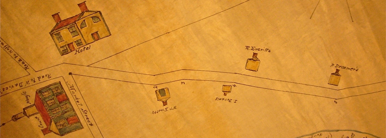
Pawling’s Purchase Map
December 15, 2014
by
Levi
Leave a comment
Read Article →
Post navigation
Subscribe
Subscribed
Set At Liberty
Sign me up
Already have a WordPress.com account?
Log in now.
Set At Liberty
Subscribe
Subscribed
Sign up
Log in
Report this content
View site in Reader
Manage subscriptions
Collapse this bar
Loading Comments...
Write a Comment...
Email (Required)
Name (Required)
Website